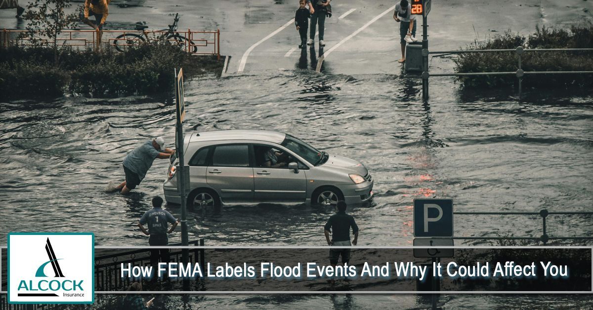
Flooding is one of the most costly and unpredictable natural disasters in the United States. While some floods are caused by heavy storms, others result from storm surges, overflowing rivers, or rapid snowmelt. Because floods can vary greatly in severity and origin, the Federal Emergency Management Agency (FEMA) uses specific classifications to help communities, insurance companies, and property owners understand the type and extent of flood risk.
Knowing how FEMA labels flood events isn’t just technical—it can directly impact your property insurance requirements, flood zone placement, and financial responsibility after a disaster.
Why FEMA Classifies Flood Events
FEMA’s labeling system helps with:
- Assessing disaster eligibility and federal assistance
- Insurance rate setting through the National Flood Insurance Program (NFIP)
- Mapping high-risk and low-risk areas
- Guiding local governments in planning and infrastructure decisions
Without these classifications, determining preparedness, coverage needs, and rebuilding efforts would be far more complicated.
Key FEMA Flood Classifications
Below are the main types of classifications FEMA uses when analyzing flood risks or documenting flood events:
1. 100-Year Flood (Base Flood)
This is the most referenced FEMA term. It does not mean a flood occurs once every 100 years. Instead, it represents:
A flood that has a 1% chance of occurring in any given year.
Homes located in a 100-year floodplain are often required to carry flood insurance if they have a federally backed mortgage.
2. 500-Year Flood
A less frequent but still significant category, representing:
A flood with a 0.2% chance of occurring each year.
Properties in these zones may not be required to carry flood insurance but are still considered at elevated risk.
3. Special Flood Hazard Areas (SFHAs)
These are high-risk areas where flood insurance is federally required. They include zone labels such as:
- A
Zones
- V Zones (coastal high hazard areas impacted by waves)
Homes in SFHAs typically have higher flood insurance premiums due to risk proximity.
4. Moderate-to-Low-Risk Zones (B, C, and X Zones)
These areas are still at some risk, but not considered high probability. Insurance is usually optional—but recommended. FEMA notes that over 20% of annual flood claims come from these areas, which surprises many homeowners.
5. Coastal Flood Zones
These zones include identifier letters like VE, AE, or Coastal A and combine risks from:
- Hurricane storm surge
- Tidal activity
- High-impact wave action
Coastal flood labels often result in stricter building codes.
How FEMA Labels Affect Property Owners
Flood classifications can influence many aspects of homeownership and business operations:
- Insurance rates and requirements
- Mortgage approval and financing
- Building codes and elevation requirements
- Home value and resale considerations
For example, a property located in a newly reclassified flood zone may see an increase in required insurance premiums or mandatory mitigation updates.
Real Example: Local Impact
If you live in Greenville, NC, FEMA flood zone maps and classifications can impact your
insurance requirements and premiums—especially given the region’s proximity to rivers and heavy rainfall patterns. Staying informed ensures you’re not caught off guard financially or structurally during severe weather.
How to Check Your FEMA Flood Zone
You can look up your address on the FEMA Flood Map Service Center website to see current labels affecting your location. Keep in mind that maps evolve with climate data, regional construction, and watershed changes.
Why FEMA Classifications Change Over Time
Flood risk isn't static. FEMA updates maps due to:
- Urban development and reduced ground absorption
- Changing weather patterns and rising sea levels
- Updated technology and modeling accuracy
- Severe flood events that shift regional expectations
These updates help ensure communities are better prepared—but they may also impact insurance premiums or coverage needs.
Tips to Protect Yourself Regardless of Zone
Even if you’re not in a high-risk flood zone, consider taking proactive steps:
- Elevate utilities and major appliances
- Maintain proper drainage around your home
- Keep gutters and storm drains clear
- Review flood insurance options
Conclusion
FEMA’s flood event labels play a crucial role in shaping insurance premiums, preparedness planning, and property risk awareness. Whether you're a first-time homeowner or a business owner evaluating risk, understanding these classifications empowers you to make informed decisions.
Flooding doesn’t just impact coastal or high-risk areas—it can happen anywhere. By becoming familiar with FEMA’s labeling system and reviewing your property's flood zone regularly, you can take the right steps to protect your home, finances, and peace of mind.
At Alcock Insurance, we are committed to offering our clients a wide range of comprehensive and affordable insurance policies. We go above and beyond to ensure that we meet your unique needs with tailored solutions. To find out more about how we can assist you, please reach out to our agency at (252) 353-1700 or CLICK HERE to request a free, no-obligation quote.
Disclaimer: The content provided in this blog is for informational purposes only and should not be considered professional advice. For personalized guidance, it is important to consult with a qualified insurance agent or professional. They can offer expert advice tailored to your individual situation and help you make well-informed decisions about your insurance coverage.